
Deerfield Township ZIP Code Coverage
No authoritative USPS table was located that lists every ZIP serving Deerfield Township, the areas each covers, and an assigned post office. The safe starting point for a Deerfield Township ZIP code directory is therefore a documented gap, not a reconstructed roster. Use USPS for one delivery address at a time, then compare the parcel's township and mailing fields in county records.
| ZIP | Areas Covered | Post Office | Notes |
|---|---|---|---|
| Research gap | No verified township-wide USPS coverage list located. | No authoritative Township assignment located. | Verify each address with USPS By Address and Warren County GIS. |
One narrow fact is verified: Deerfield Township's office uses a 45040 mailing address, as does Mason Municipal Court. That establishes active postal use for those two official addresses only. It does not prove that 45040 is the sole ZIP in the Township, define a Township line, or assign a post office to all local addresses.
Verify a Deerfield Township ZIP Code
The USPS By Address lookup is the authoritative practical route for a delivery question. Enter one complete delivery address and retain the postal result as a routing answer for that address. A ZIP is a mail-delivery designation, not a municipal or township boundary. This distinction prevents a Deerfield Township ZIP code directory search from turning a postal label into an unsupported jurisdiction claim.
- Enter the exact delivery address in USPS By Address rather than beginning with a community name.
- Record the returned ZIP as a mailing and routing result for that one address.
- Open the associated Warren County Auditor or GIS property record and compare its physical address, township, municipality, and mailing fields.
- Use the parcel's legal description and parcel number for Recorder research when the question becomes a property-document question.
USPS By Address provides the exact-address postal check used in this Deerfield Township ZIP code directory workflow.
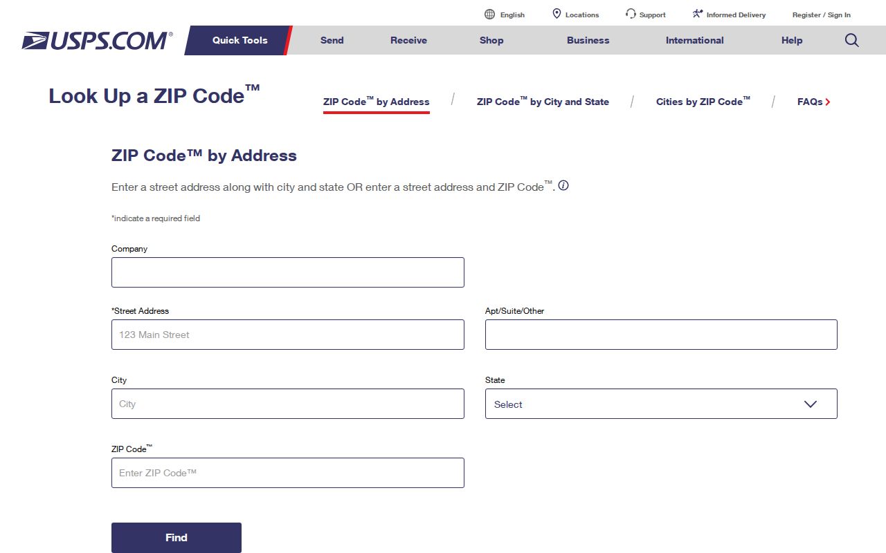
The USPS screen is useful precisely because it tests one delivery address instead of asking a city or township name to stand in for postal service boundaries.
Deerfield Township ZIP Code Filters
The Warren County Auditor's Advanced Search can filter a current property set using Township and Zip Code. Choose Township as DEERFIELD 0002, add a Zip Code criterion, and use Street Name when a road is already known. The result is a parcel-search method, not an official inventory of all mail delivery routes. Check the returned parcels individually against USPS and GIS before treating a ZIP label as geographic coverage.
| Field | Type | Use in a ZIP query |
|---|---|---|
| Township | Advanced criterion | Select DEERFIELD 0002 to limit a parcel query to the Township. |
| Zip Code | Advanced criterion | Use Starts With or Contains as available for text and location fields. |
| Street Name | Advanced criterion | Narrows the selected ZIP result to a particular road. |
| Municipality | Advanced criterion | Compare separately; it does not stand in for a delivery ZIP. |
| Parcel Number | Advanced criterion | Identifies the parcel to review in the Auditor, GIS, and Recorder routes. |
Save the result date and count with research notes. The portal displays a processing-date marker, and parcel data can change after it is viewed.
Deerfield Township Parcel Geography
Warren County Online Mapping provides the comparison layer that a ZIP code directory needs. It can search address, owner, parcel, account, and address point records. Returned property material includes account number, parcel number, owner, address lines, legal description, lot number, use-code description, and a property-search summary. GIS also supplies map browsing and spatial tools, which help confirm the parcel being considered.
Keep three fields separate. The situs or physical address identifies the property location. The tax mailing address identifies where the tax record is sent. The legal description identifies the land in the recorder and survey context. None is a substitute for the USPS delivery answer, and a mailing address does not establish where a person is physically present.
- ZIP Code
- A postal routing designation for mail delivery, not a Township or municipal boundary.
- ZIP+4
- An added postal detail that refines delivery routing beyond the five-digit ZIP Code.
- Carrier route
- A postal delivery grouping. It is not a local-government district or a list of people.
Note: Compare physical, mailing, and legal-description fields before moving from a postal result to a property record conclusion.
45040 in Deerfield Township Records
Deerfield Township's official office address is 4900 Parkway Drive, Suite 150, Mason, Ohio 45040. Mason Municipal Court uses 5950 S. Mason Montgomery Road, Mason, Ohio 45040. These are useful, precise examples of a ZIP used on official mailing addresses. They do not supply a complete Deerfield Township ZIP code directory, and they do not prove that every address with a Mason mailing name is in the Township.
The Township is unincorporated, so county record keepers hold the principal property and deed trail. When an address has been checked through USPS, use the Auditor or GIS record to inspect its Township, Municipality, Mail ZIP, and physical-address fields rather than relying on the postal place name alone.
Deerfield Township Postal Name Caution
Mason, Loveland, Kings Mills, and Maineville are names that can arise in the area’s records geography, but a locality name does not settle a current ZIP Code question. Historical Board of Elections polling-location material included Maineville 45039 and Loveland 45140 addresses. That is historic polling-place information only. It is not evidence of current postal coverage for Deerfield Township.
The same caution applies to municipal labels, tax districts, school districts, and older place names. A Deerfield Township ZIP code directory stays accurate by identifying the record's purpose first: USPS for delivery routing, GIS for parcel geography, the Auditor for property fields, and the Recorder for legal-document research.
The Board of Elections precinct and polling-place report is another civic-geography source, not a postal source. It can report precincts with assigned locations, locations with assigned precincts, or districts with assigned precincts in report or CSV form. Use it when an election boundary is the question. Do not use a polling-place address, precinct name, or historic report to fill a missing ZIP Code coverage row.
The Warren precinct and polling-place report illustrates the civic-geography route that must stay separate from a delivery-ZIP result.
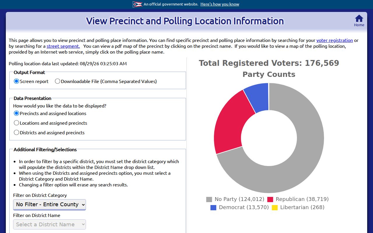
Its reports can help identify election geography, but neither a precinct nor a polling place defines an address’s USPS ZIP Code.
Historic Deerfield Township Map Labels
Postal ZIP Codes cannot be projected backward onto nineteenth-century maps. The Township's history and historic map resources link the 1875 and 1891 maps that can help bridge older landowner or place names to a modern parcel and legal description. They are valuable when an old deed, map, or directory uses a place label that no longer matches a current postal name.
Deerfield Township history resources provide the historic-map context for a ZIP code directory research trail.
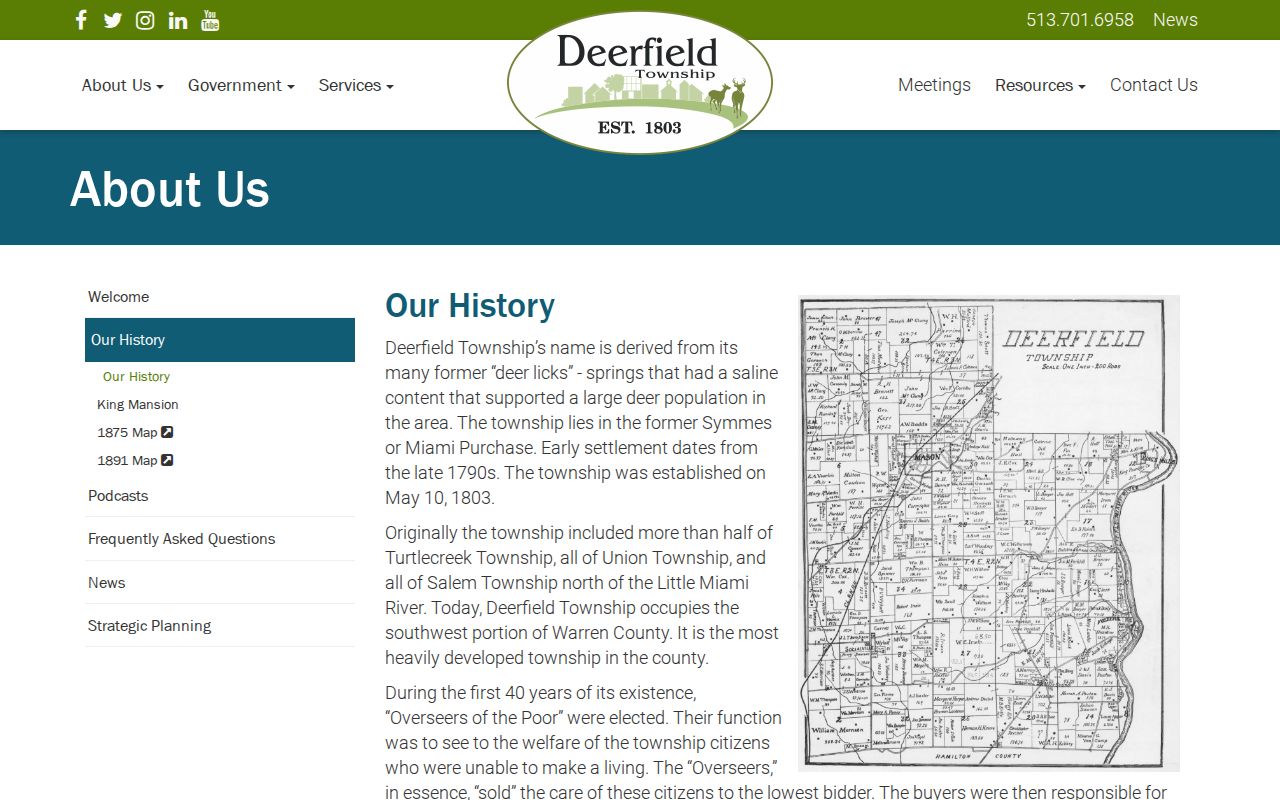
The historic material can reconcile place labels with Recorder and Auditor research, but it cannot establish a modern delivery ZIP for an old map location.
Deerfield Township was established in 1803, and its original area later included land associated with Turtlecreek, Union, and Salem. That boundary history is another reason to use maps and legal descriptions carefully instead of assigning current postal geography to older records.
Find Deerfield Township ZIP Code Records
Once USPS and parcel geography agree on the address under review, the next record depends on the question. Use the Auditor result for account, parcel, owner, physical address, subdivision, and lot. Use GIS for the mapped parcel, legal description, and surrounding geography. Use the Recorder AVA system only after carrying over the parcel number, party name, document type, date, book, or page, because AVA does not provide an address field.
For a road-level property workflow after a ZIP has narrowed the search, use the Deerfield Township street directory. Ohio voter tools are individual-registration or dated-file routes, not a ZIP-wide public roster. Public election information also carries statutory exclusions, including Safe at Home protections, and should never be used to reconstruct protected locations.
When a current portal does not answer a historical parcel question, the Warren County Records Center and Archives is the county fallback. Its collection makes records at least 75 years old accessible for research and includes paper, electronic, and microfilm reading-room material. Newer records remain with the originating department. A narrow archival request should identify the record type, Township, date range, party, and any known parcel or legal-description detail. That gives the custodian a usable records question without treating a ZIP Code as the record key.
Limits of a Deerfield Township ZIP Code Directory
A ZIP code directory can verify mailing geography for an exact address and support a carefully limited parcel query. It cannot supply an authoritative Township-wide roster, prove a municipal line, or establish who is currently at a property. No authoritative complete USPS coverage table was found for Deerfield Township, and no verified local ZIP realignment date was located. Preserve the research gap instead of filling it with a map-based assumption.
A PO-box ZIP is a postal designation associated with post-office box delivery, while a unique ZIP may be assigned to a single organization. Neither type was verified for Deerfield Township in the research. Ask USPS about a particular address or box instead of assuming either category applies locally.
Public records can also show a ZIP in a mailing field that differs from the parcel's physical address. That field is a tax-contact detail, not a replacement for the USPS delivery result. Keep the source and date beside every ZIP Code note, especially when comparing an older filing, a current parcel screen, and a historical map. The different sources can be consistent without using the same geographic language.